The Hayduke: Part 2 of 3
The next installment of our 800 mile trek on the Hayduke. Here we'll hike across the Henry Mountains, through Capitol Reef National Park, into the Grand Staircase-Escalante National Monument, up to Tropic, UT and back down through Bryce Canyon National Park finally taking a rest in Kanab, UT before the big canyon to the south.
HIKING BLOG
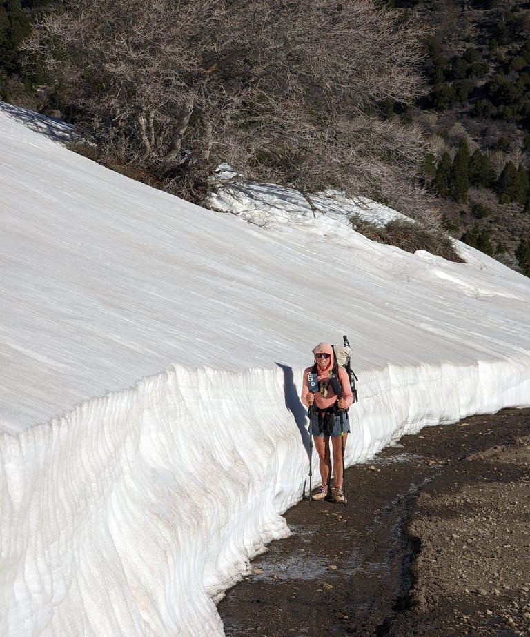
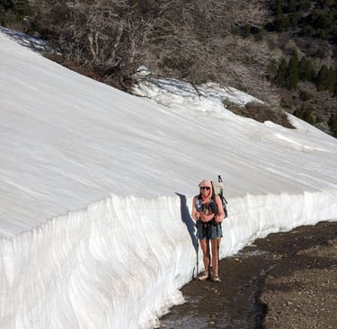
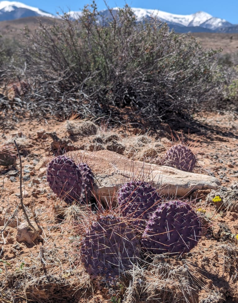
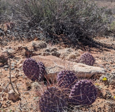
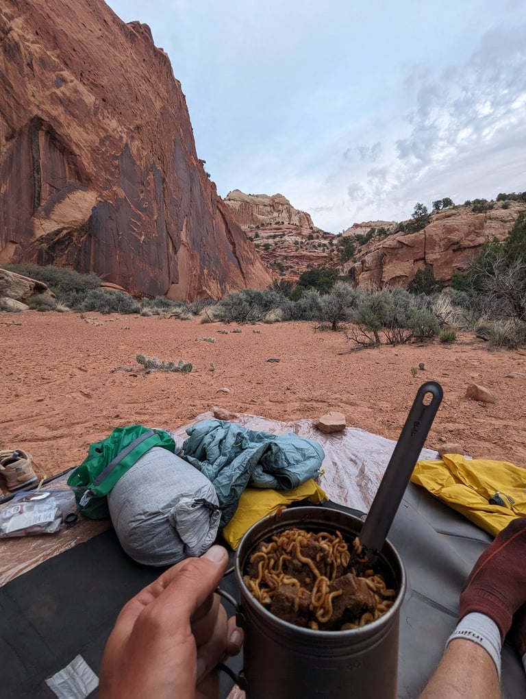
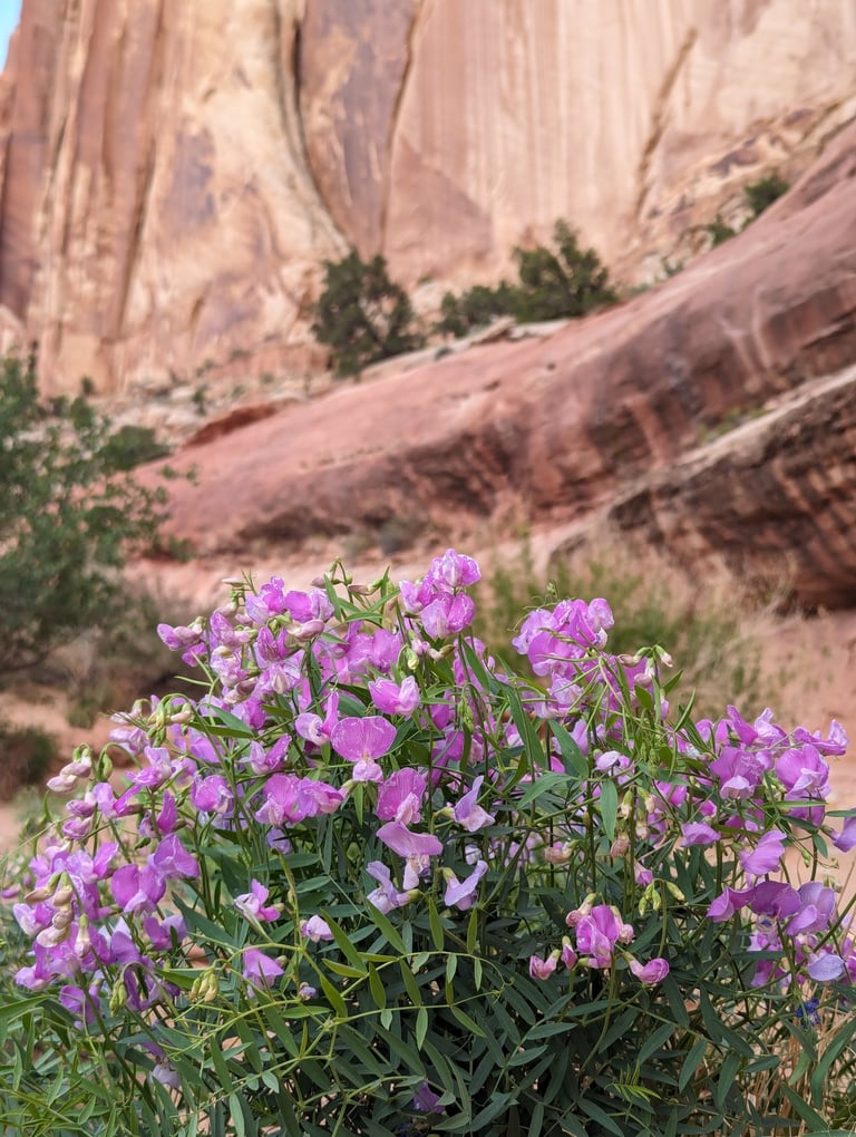
Another one my favorite features of the desert is how rapidly the environment can change. We hitched a ride back down Utah State Route 95 to the 4wd road were we began hiking in a cactus filled desert. In a matter of hours we where making camp on the only dry, snow free ground we could find. I understand I can hike to the snowline in any major mountain range in the world, but there's something so extreme about going from purple prickly pear cactus in the morning to 5 foot deep snow banks in the afternoon.
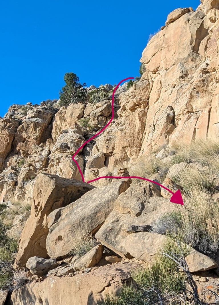
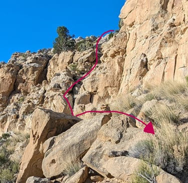
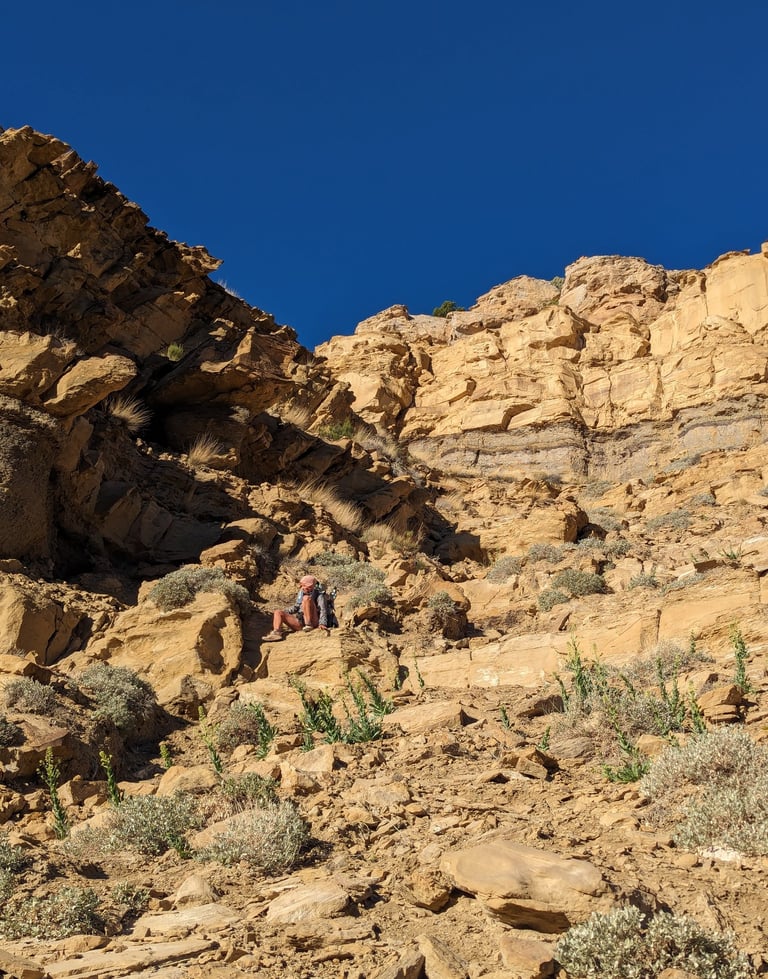
The next day we met the only other Hayduke thru-hiker of our entire hike, and they where turning around! Unable to find a safe way off of Tarantula Mesa, our next major obstacle, they elected to turn around, cross the 10,000 foot tall Henry Mountains a second time and hitch back to Hanksville. Bugs and I, now slightly more nervous then before, hiked our 22 miles that day and made camp right before the descent. We began early the next morning, spotting a cairn on a cliff edge marking the beginning of the way down. We quickly came up on the crux, a six foot vertical step off of a boulder. I lowered myself down first and then took Bug's pack. She was then able to lower herself and jump down. Obstacle complete! All that was left was to slide down a few hundred feet of scree and loose dirt before the next challenge.
Another full day of hiking brought us to the incredible Burr Switchback Trial. And this was just the dirt road into Capitol Reef National Park! We found a jug of water at the bottom of the road left by another Hayduke hiker! Grateful for this trail magic, we topped up our bottles, leaving some for the next hikers. The water we had came from a terrible alkaline and salt crusted spring and we hadn't expected more until the next day. Rapidly climbing the road we found our way into Lower Muley Twist Canyon and after a few more miles we picked a stunning camp for the night.
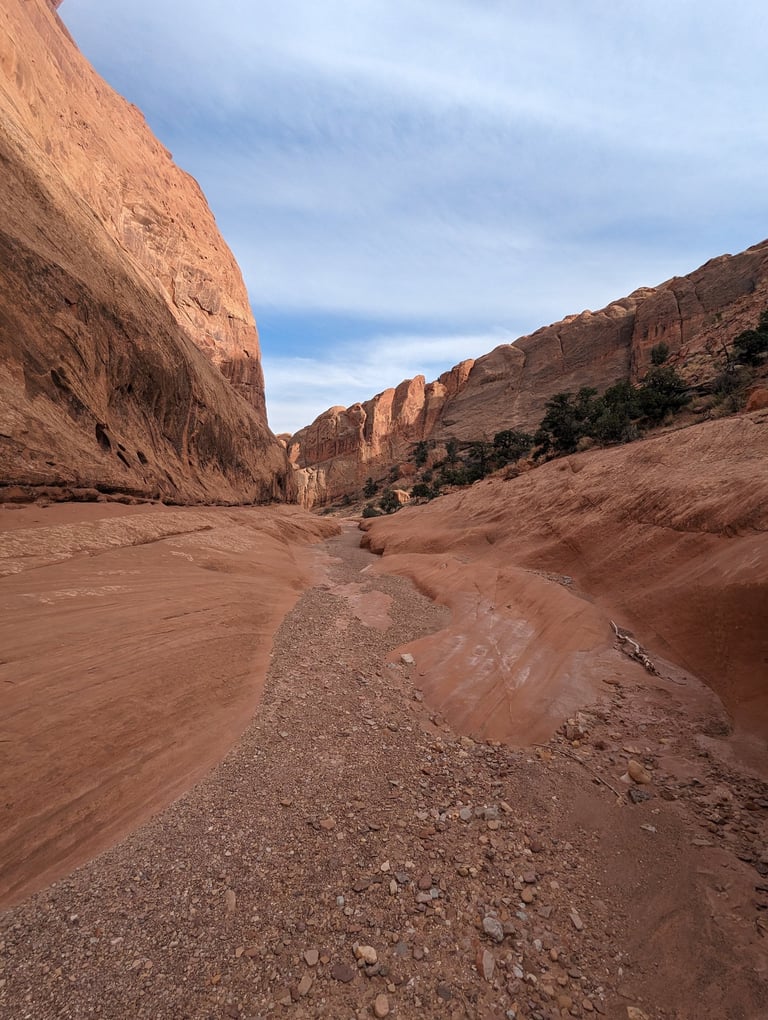
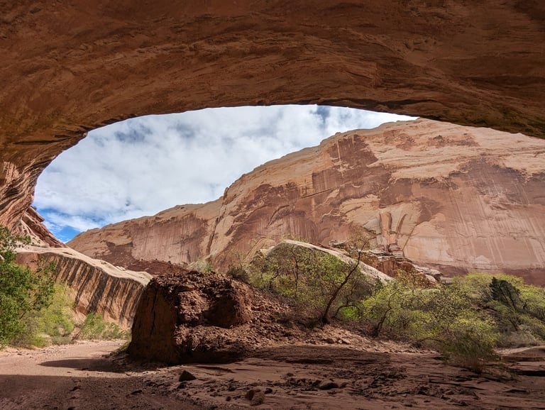
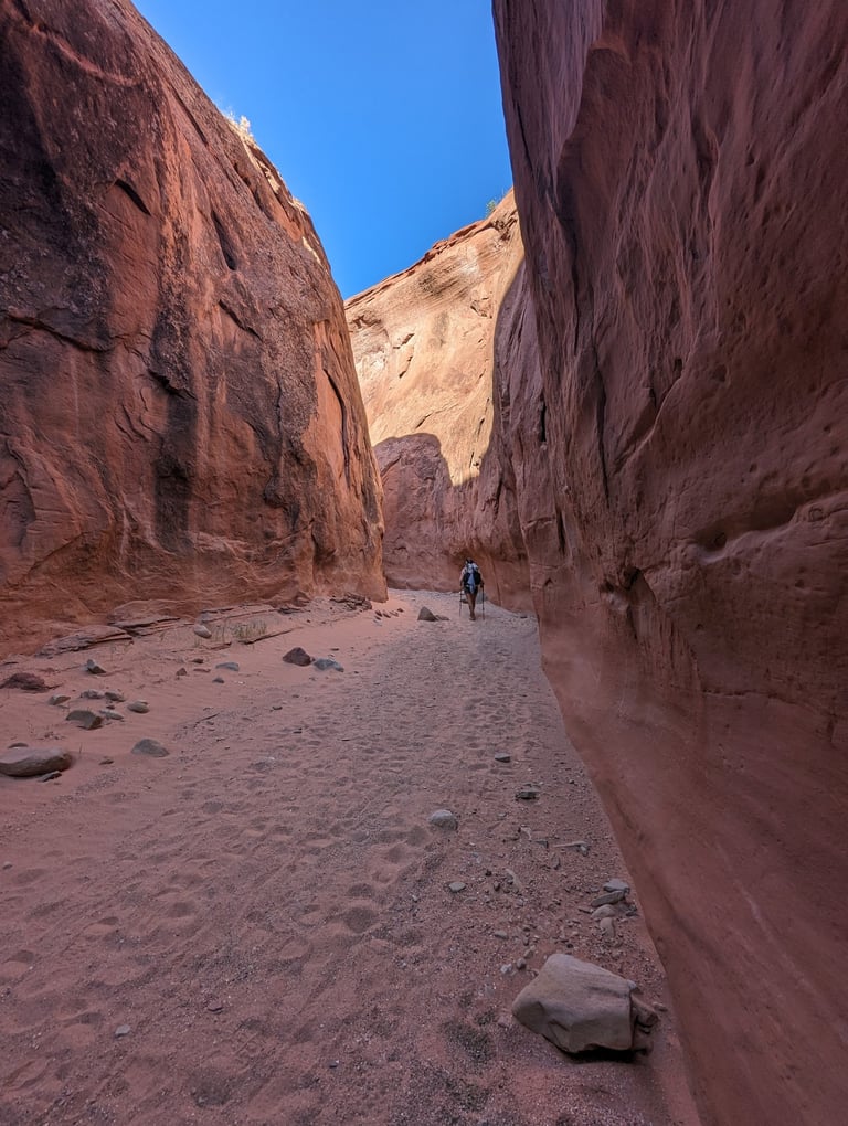
The next 10 miles of meandering canyon were filled with 600 foot tall sandstone faces covered with abstract expressionism. Mineral stains flowing in rills formed entire scenes. Images of windblown horses and prairie grasses danced on the walls around us. Bend after bend, as if crushed by its own brilliance, the canyon's collapsing facade became a roof, so much rock impossibly suspended above us.
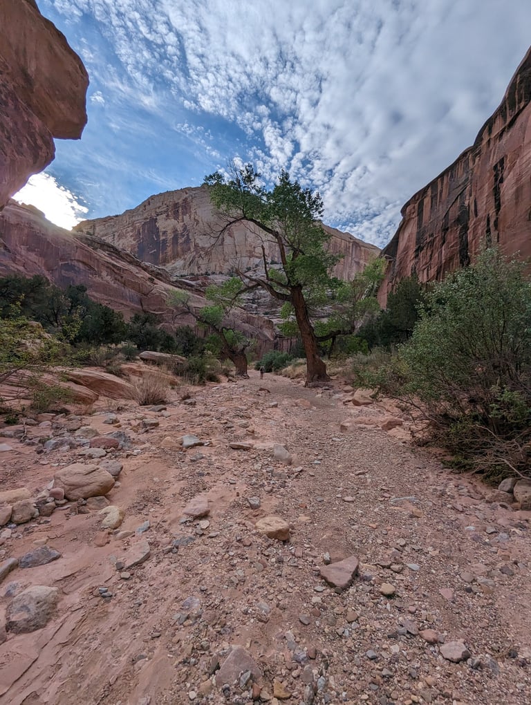
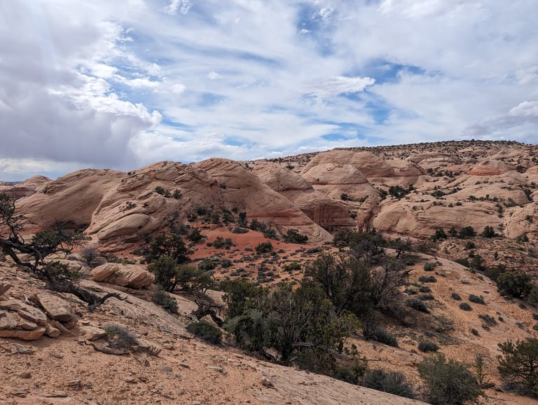
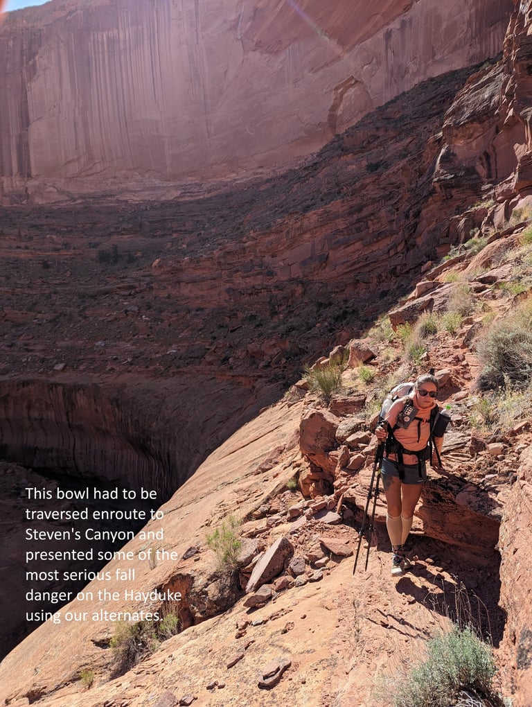
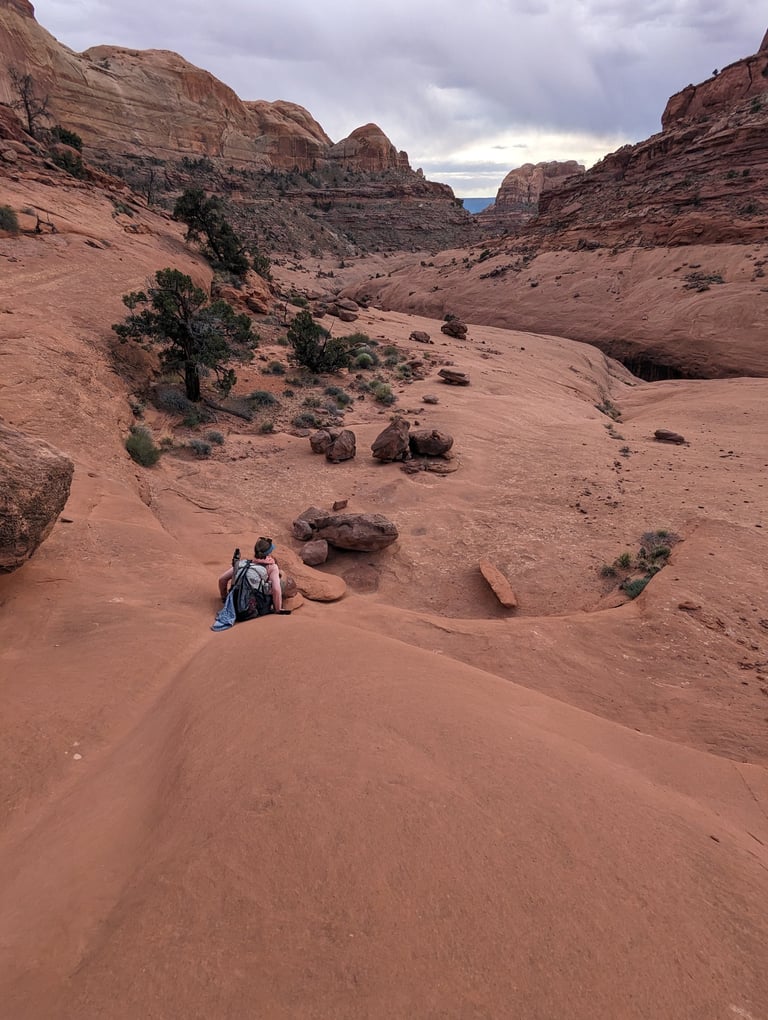
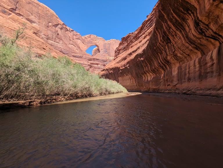
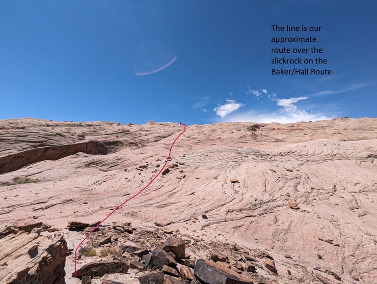
Awestricken, we stumbled out of Lower Muley Twist Canyon and quickly covered miles on the Grand Gulch Trail. Like much of the Hayduke, this trail didn't last and we were back to following a creek. After a night's rest we finished the remaining eight miles to the beginning of the Baker/Hall Route, our chosen alternate for this section. It removed the bulk of the 20 plus miles of the Escalante River and its notorious bushwhacky river walk, replacing it with an exciting day of crossing the prominent Waterpocket Fold, a huge sandstone uplift. Lower Muley Twist plus this alternate almost immediately became Bugs favorite section of the Hayduke and one I would recommend as a stand alone hike. The Baker/Hall Route took us over almost 5 miles of slickrock, interspersed with small desert gardens with blooming cactus. Upon reaching the crest of the Waterpocket Fold, you're forced to navigate through the sandstone Navajo Domes before you can descend into the upper reaches of Steven's Canyon. After a slickrock camp on brilliant orange Wingate sandstone we encountered the only area with severe exposure, and the fall risk was real, a slight misstep here would have sent you tumbling off a cliff towards the canyon bottom. Once that was carefully traversed, we reached the brushy and poison ivy choked bottom of Steven's Canyon and from there we finally found the Escalante River. Two miles of walking through calm and surprisingly warm water was nice change of pace after the morning's difficulties and I believe it washed away a significant portion of the poison ivy on my legs. Constantly presented with new and beautiful challenges, this was an inspirational way to travel from Capitol Reef to the Escalante River.
Another day of hiking up the more traveled Coyote Gulch and one more unexpected narrow canyon brought us to a small parking area on dirt Hole-in-the-Rock Road, with far too little water. We needed to hitch nearly 40 miles to the town of Escalante, UT and had heard this could take some time. Bugs deployed her sun umbrella and we began our wait, talking to the few people in the parking lot. Luck was on our side and a friendly local fit us in his truck and we were headed to town in less then 30 minutes! Escalante is a cute desert town and a gateway community to many managed wilderness areas and its prices reflect this. But the pizza at the Escalante Outfitters where we ate dinner with a BLM ranger was worth every penny! He was a former NPS ranger with years of experience at Grand Canyon National Park and we got some great insider info from him on what to expect in a couple weeks when we arrived there.
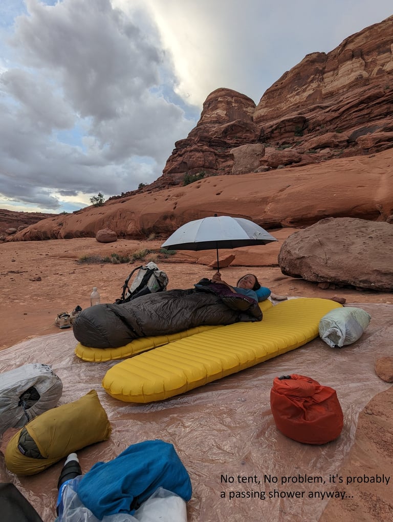
Rejuvenated and refreshed, we left town again with food for about 6 days and 120 miles. Notice a theme here? This is why people cache food for this one. Anyway, I can't complain about a great adventure. Two days and 40 miles later we were hit by a storm just as we preparing to descend into Round Valley Draw, a narrows and not a good place to be in a flash flood. We pulled a detailed weather forecast on our satellite device and saw we had potentially heavy rains for the next 2-3 days. This meant the narrows where a no-go. We rerouted and began using a series of dirt roads to hike a direct 20 mile route into Tropic, UT.
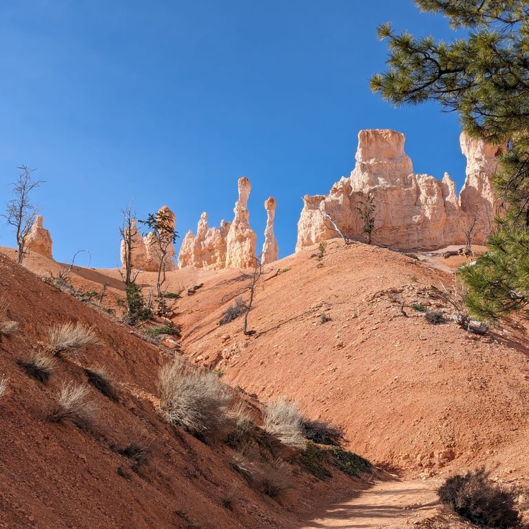
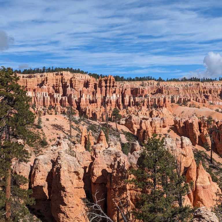
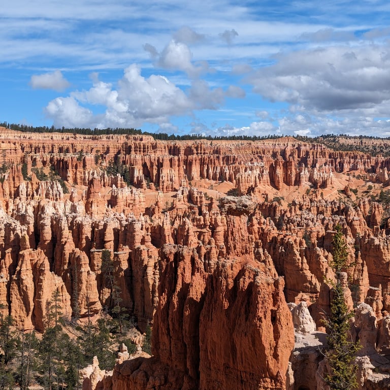
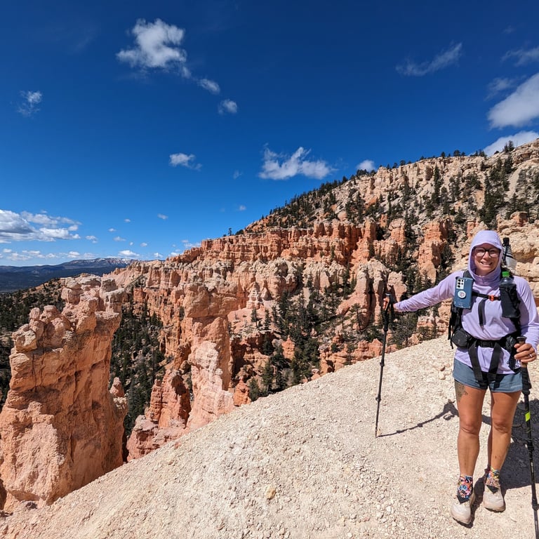
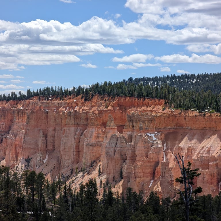
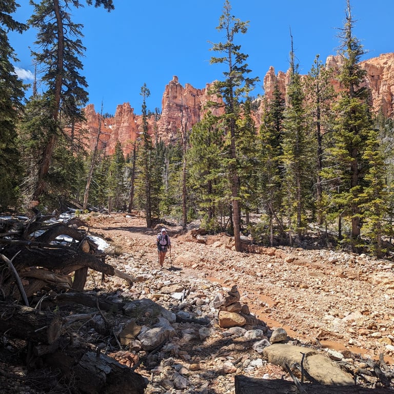
Dodging the worst of the weather, we resumed our hike by walking out of Tropic and directly up Bryce Canyon into Bryce Canyon National Park. This was another extension we added to ensure we'd see more of this park. The thunderstorms and sleet we had in the lower desert had brought a fresh dusting of snow to the whimsical spires and hoodoos of Bryce. Our early start put us ahead of most of the crowds and walking among the fairytale, melting creamsicle rock formations in relative solitude was a brilliant start to the day. It was only a short 14 miles inside the park boundaries before we found ourselves again looking for long abandoned and washed out footpaths and a nice place to sleep for the night.
I won't bore you with all the details but another few days of hiking brought back through the southern terminus of Bryce and then south through Ponderosa forest and canyons to Hwy 89. Here we hitched into Kanab for a final rest before the big push south on the Arizona Trail across the North Kaibab Plateau and into the Grand Canyon, right on time for our 9 day permit!

click for a 15 second video of us trying to outrun the storm that caused us to bail on Round Valley Draw. It didn't work....